The idea of using satellites to count elephants has hit the news again. Unfortunately simple barriers – trees and clouds – stand in the way of getting accurate estimates of elephant numbers from space.
Counting elephants and other large animals in the very large open spaces of Africa is a huge challenge. Conservationists normally use light aircraft, flying back and forth over tens of thousands of square kilometres, sometimes taking weeks to cover large areas such as Tsavo National Park or the Selous Game Reserve. There are decades of consistently-conducted surveys over wildlife areas in Africa allowing long-term trends to be used by managers and ecologists.
Given the difficulty and time involved in traditional survey techniques, the potential for using satellites count elephants is intriguing. Surely we should be able to spot and count elephants in snapshots from space? A recent paper suggested that this may be feasible and demonstrates counting of elephants in several snapshots taken from high-resolution Worldview-3 and -4 satellites.
However, there are a number of barriers in the way of making this a viable technique that mean it may not be practical for a long time, if ever.
What percentage of elephants can be seen in a satellite image?
Top-down satellite images mean that animals that are under tree canopies cannot be seen. In comparison, human observers on light aircraft look at an angle underneath trees and have a much better chance of seeing animals as their perspective changes as they fly past.
We need to know how the numbers compare to traditional methods. Normally 5-10% of elephants may be missed by human observers from aircraft even in open habitat, but this is a consistent problem and still allows us to see how populations are doing over time. We need to know how many are not seen in satellite imagery compared to existing techniques.
Compounding the general problem of visibility under canopy is the hour that images are taken. The high-resolution Worldview satellites are ‘sun-synchronous’, capturing images at the same time of day – either 10:30am or 1:30pm. While the authors mention that the ‘early morning light’ (at 10:30) improved contrast, in most tropical areas that represents the beginning of the heat of the day when many animals seek shade under trees. Traditional aircraft counts normally stop counting from 10am-3pm due to the increased difficulty of seeing animals even though it is easier for the oblique view.
Can we get enough data?
Probably the biggest problem is the nature of satellite coverage. Instead of taking an instant snapshot over a very large area, satellites take strips of images or even very small rectangular areas. Imagery over Africa is normally given lower priority and cloud cover often blocks out significant parts of the scene – satellite providers indicated that it would take 2-3 months to acquire all the imagery for even a modest survey area of 10,000 km². This would not provide a ‘snapshot’ of the population at one time, but rather would mean the animals had moved all over the landscape and were not present in a single image.
Imagery is also extremely expensive. A complete sample count from aircraft for the Tarangire ecosystem in Tanzania (16,000 km²) would cost around $65,000. Just the imagery for that ecosystem would cost > $500,000, without considering the analysis and presentation of the data.
New technology is probably the way forward for consistency and accuracy – but probably with oblique high-resolution photographic counts from light aircraft rather than satellite. Recent studies have shown that oblique counts using automated cameras (OCC) along typical sample-count transects perform as well – or better than – human-eye counts. OCC methods are cheaper to fly than traditional sample counts; they still require time-consuming and expensive analysis, but those costs are reducing with the advent of computer detection techniques.
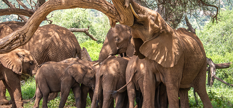
Members of the Shakespeares family rest under the shade of a tree in Samburu National Reserve. Photo: Robbie Labanowski/Save the Elephants

STE’s plane flies over a herd of elephants in Tsavo during an aerial survey. Photo: Nick Trent/Save the Elephants
Top image:Save the Elephants’ plane flying over a herd of elephants in Tsavo as part of an aerial count. Photo: Jerome Starkey/Save the Elephants